Deprecated: trim(): Passing null to parameter #1 ($string) of type string is deprecated in /home/schwarz/domains/schwarzwaldwanderschuh.de/src/vendor/gelembjuk/locale/src/Gelembjuk/Locale/Translate.php on line 168

Deprecated: trim(): Passing null to parameter #1 ($string) of type string is deprecated in /home/schwarz/domains/schwarzwaldwanderschuh.de/src/vendor/gelembjuk/locale/src/Gelembjuk/Locale/Translate.php on line 168

Deprecated: trim(): Passing null to parameter #1 ($string) of type string is deprecated in /home/schwarz/domains/schwarzwaldwanderschuh.de/src/vendor/gelembjuk/locale/src/Gelembjuk/Locale/Translate.php on line 168

Deprecated: trim(): Passing null to parameter #1 ($string) of type string is deprecated in /home/schwarz/domains/schwarzwaldwanderschuh.de/src/vendor/gelembjuk/locale/src/Gelembjuk/Locale/Translate.php on line 168

Deprecated: trim(): Passing null to parameter #1 ($string) of type string is deprecated in /home/schwarz/domains/schwarzwaldwanderschuh.de/src/vendor/gelembjuk/locale/src/Gelembjuk/Locale/Translate.php on line 168
Schwarzwald Hiking Shoe

Discover the Schwarzwald! Hike in the Schwarzwald!

All about hiking in the Schwarzwald. Routes, places, maps, transport. Mobile navigator. Communication and exchange of experience

Get mobile app

Information for hikers on this site


Map

Interactive online map with routes and places

Routes

Directory of hiking routes

Chat

Online chat for communication with other hikers

Mobile application

Mobile hiking apps are integrated with this site

Weather

Weather forecast on hiking routes

Places

Places that are useful or interesting for hikers

Towns & Willages

Information about settlements on tourist routes

Forum

Discussion about hikes, routes, tourist equipment

Blog

News of this website
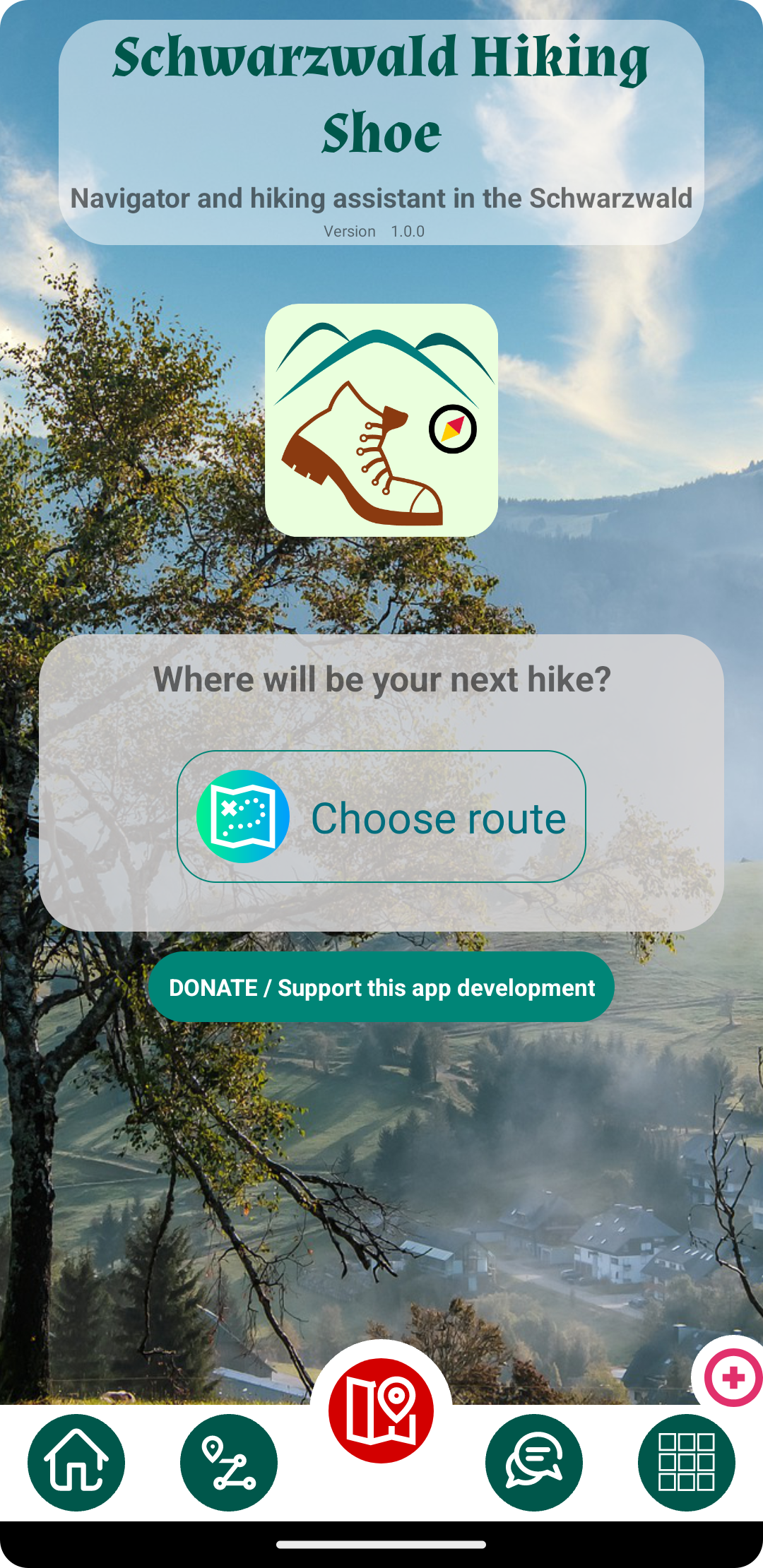
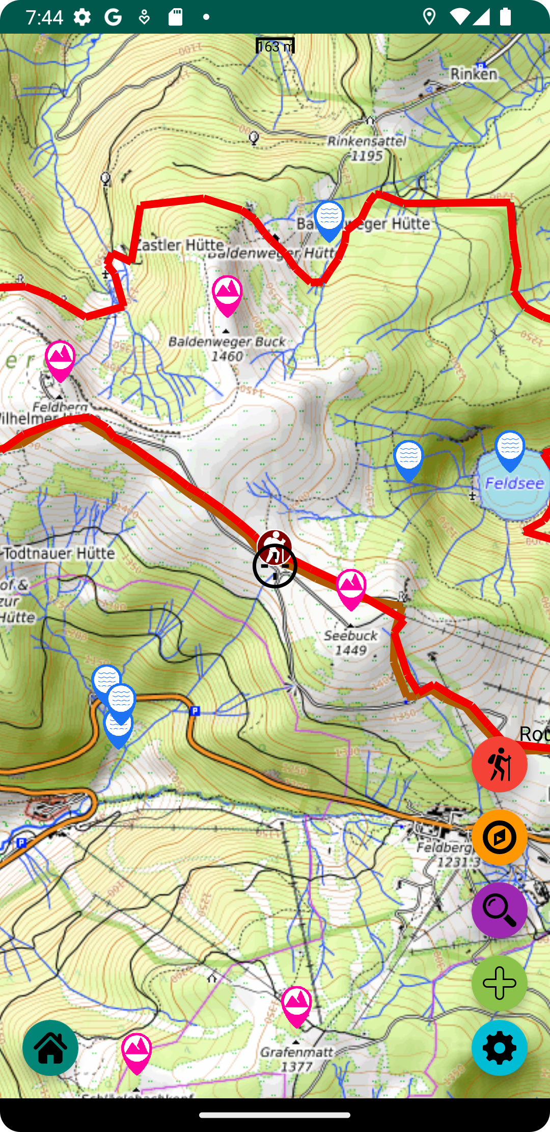
"Schwarzwald Hiking Shoe" - Mobile application


Eine einzigartige mobile Anwendung, die speziell für Wanderungen im Schwarzwald entwickelt wurde. Der Schöpfer der App ist selbst gerne in den Bergen unterwegs und hat diese Handy-App für sich und alle Liebhaber des Schwarzwalds entwickelt. Mit dieser App können Sie eine Wanderroute auswählen und ihr von Anfang bis Ende folgen, wobei die App als Navigator dient. Sie können diese App während Ihrer Wanderung immer als Führer verwenden. Sie enthält Informationen über das Wetter, die umliegenden Orte, die Verkehrsmittel usw. Die App verfügt auch über Funktionen für die Kommunikation mit anderen Reisenden - Chat und Forum.

Mobile app features

Map
Routes
Chat
Weather
Places
Towns & Willages
app-screen

Random routes

 
  2 days
  52.7 km
Amateur
 
Schapbach - Torkopf - Sulzerköpfle - Gütschkopf - Kapellenberg - Hochberg - Kloster Wittichen - Buchhöhe - Hilsenbühl - Schwarzer Bühl - Sättelekopf - Allmendhöhe - Weberhöhe - Schlegelsbühl - Staufenkopf - Spitzkopf - Stirnle - Baierseck - Buchkopf - Kohlbühl - Fegersköpfle - Gütschkopf - Kupferberg
 
  8 hours
  27.4 km
Amateur
 
Gäurandweg Etappe 4: Nagold - Waldachtal
 
  7 hours
  18.0 km
Amateur
 
Littenweiler - Kamelberg - Laubisköpfle - Ochsenberg - Schauinsland - Hofsgrund

Developer

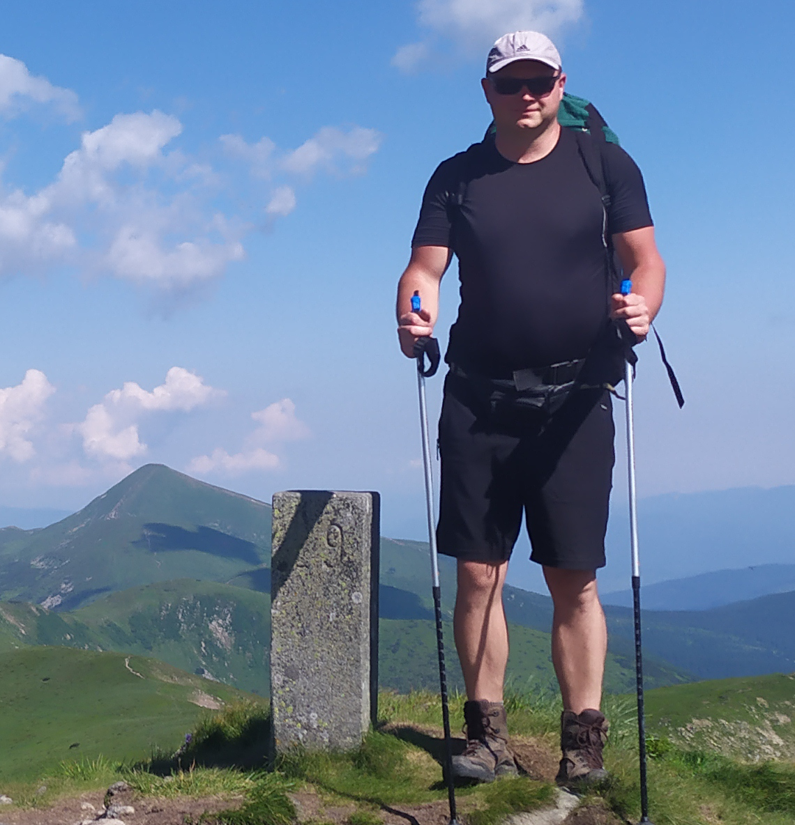
My name is Roman Gelembiuk. I have two hobbies - programming and mountain hiking. I founded the project "Schwarzwald Wanderschuh" as a hobby and continue to develop this platform on my own until now. I created a website and mobile apps for Android and iOS/iPhone called "Schwarzwald Wanderschuh". All this is available for free to all travellers in the Black Forest.
  -     -   roman@gelembjuk.com

Support this project

You can help develop this project. The easiest thing you can do is subscribe to channels and pages in social networks
Facebook


Subscribe

Youtube


Subscribe to channel

You can also support this project financially

Donate with PayPal